Monday, September 19, Sucia Island to Stuart Island
As much as we loved Sucia it was time to get sailing and see more sights. We knew a visit to Friday Harbor on San Juan Island was in the near future as we needed a galley resupply, ice and a head pump-out. But first we would visit Stuart Island, a must see, mentioned by all of our friends from Washington who grew up sailing.
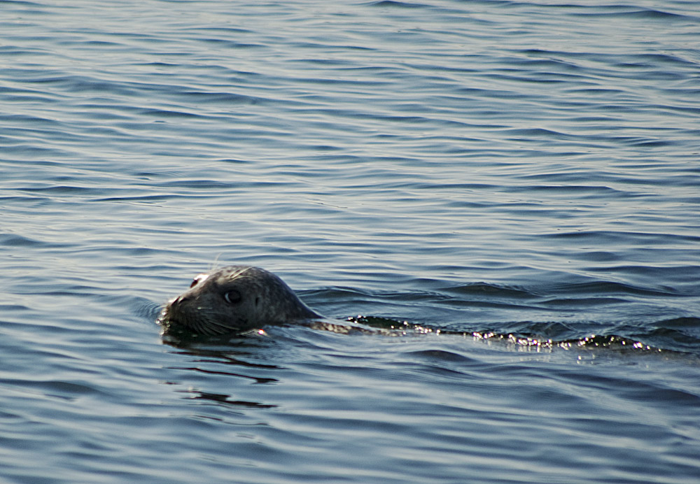
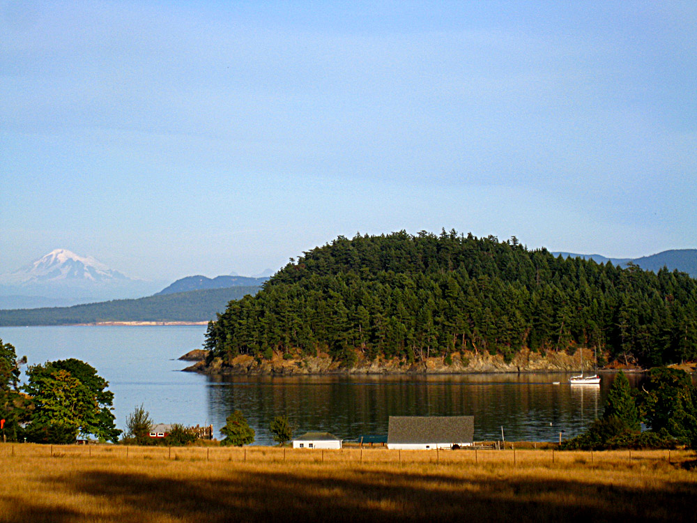
The day was warm and sunny but windless. As we motored in the President Channel on the backside of Orcas Island we saw many porpoise swimming off the bow coming low out of the water in black streaks. We were told late September is a good time to see whales, orcas and minkes, so we also always had two pair of binocs at the ready. In the distance, huge container ships steamed by in Boundary Pass near the Canadian border. [Bass: Kelp beds required occasional maneuvering, but otherwise the navigation was again supremely straightforward.] On this clear day we were surprised when we looked back from where we had come (east) to see Mount Baker, huge and snow covered dominating the coast.
It was mid afternoon before we motored into Prevost Harbor on Stuart Island. We picked up a mooring ball [only two left, both labeled “For 32 Feet and Under”… something to consider when 3-foot-itis or 6-foot-itis hits, small boats are easy to get around in!], grabbed our hiking gear and made the short dinghy trip to the dock where many boats were already tied up for the night. Many people had recommended spending quality time exploring Stuart Island, specifically Turn Point Light Station, the functioning one-room school house and self guided one-room museum. [Doug warned us of the “Stuart Island Ninjas”, but we never really knew what they were, and anyway didn’t see any… but of course, Ninjas are good at not being seen!]
As we headed out on the trail we were again surprised by the hilly terrain of the islands. I remembered thinking it was odd to see a “Hiking Guide to the San Juan Islands” while in Back of Beyond Books in Moab, Utah, one of THE BEST guidebook selections of any bookstore in existence! It was great to have completely unexpected and wonderful hiking excursions while on a sailing trip. We had no idea we would spend so much time on terra firma. [Time on land in the Virgin Islands was limited to ice resupply and the occasional bar visit, otherwise we spent much less time off the boat there than we did in the San Juans.]
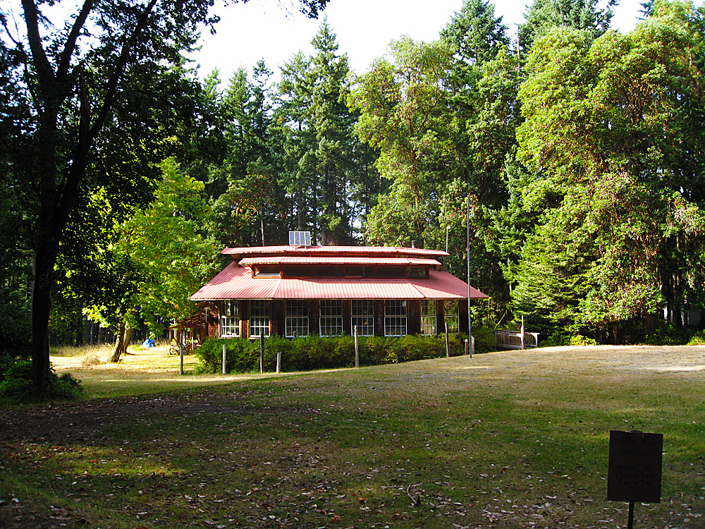
The six mile round trip hike on a dirt, county road to the Turn Point Light Station took us past working agriculture land, ponds, family farms and an airstrip. The light station is not really a light house but a light which is still a navigational aid for the shipping waters of Boundary Pass. There is a big, beautiful house on the point where employees manning the light station used to live. [We are told the caretaker used to live there but because of lead paint now lives in a little RV trailer up behind the house… rip-off!] We enjoyed a late lunch on the wrap-around porch, imagining the parties thrown by Coast Guard or Naval Officers for government hoighty toits. The grounds had a Great Gatsby air about them and I could imagine the porch packed with martini –toting guests on a “whale watching” tour. We spent an hour with eyes peeled for whales. We saw no whales but witnessed the beginning of a spectacular sunset.
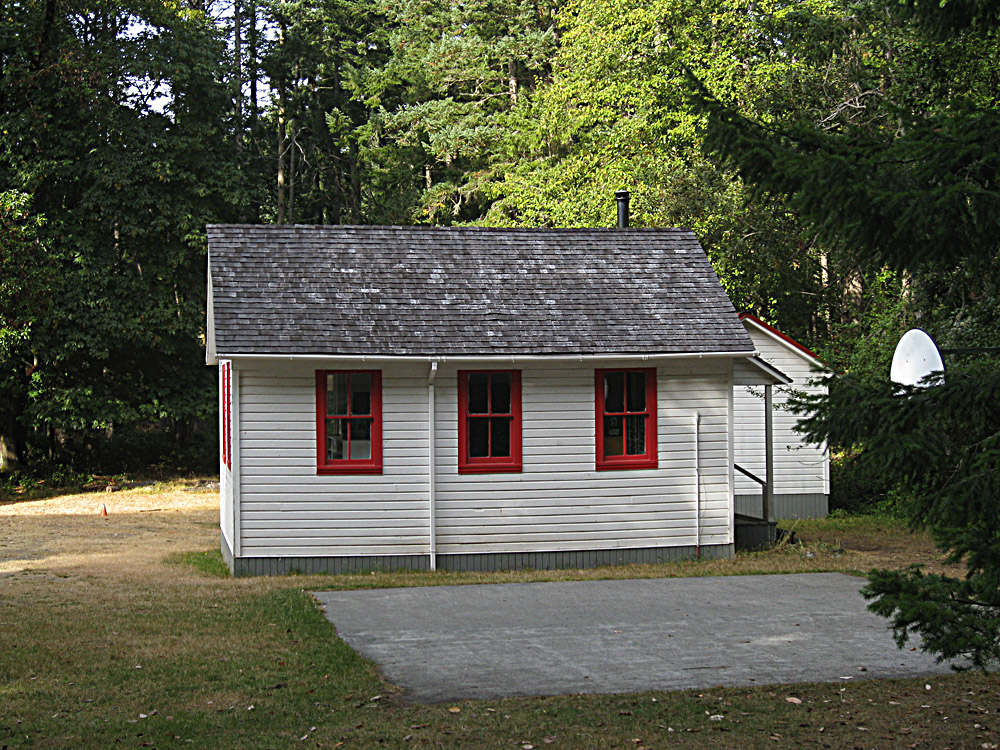
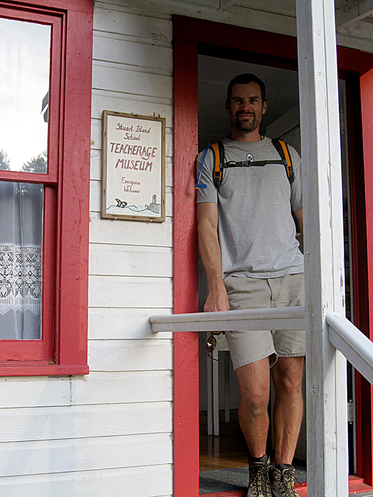
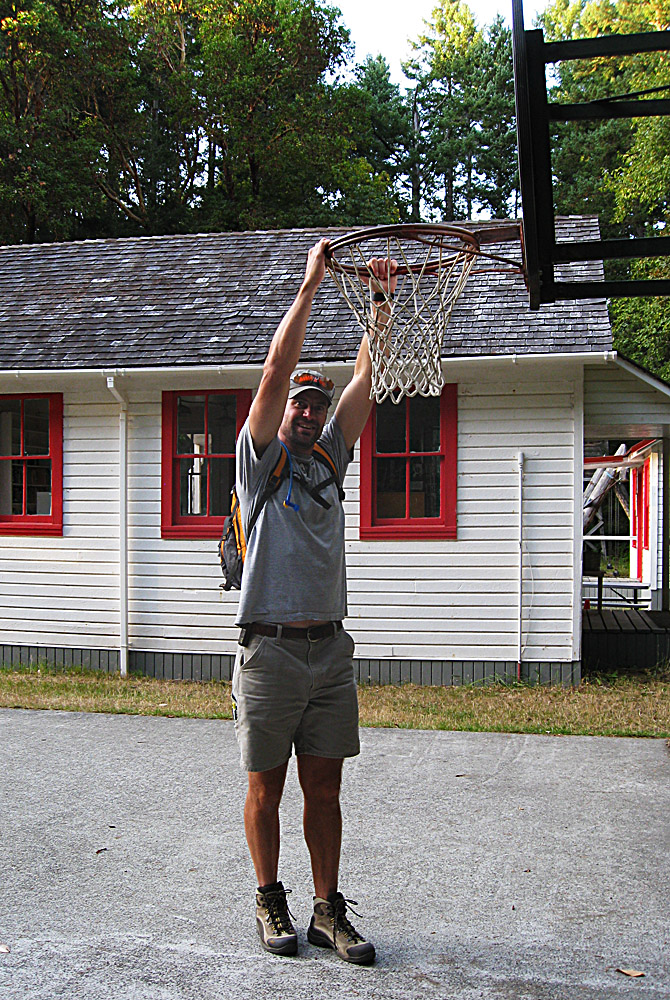
On the way back we stopped to check out the school, which was out for the day. After school hours, residents of the island encourage visitors. We visited the museum, bought post cards from an honor box and Bass practiced slam dunking on the kid’s basketball court [Finally!]. We also “purchased” two T-shirts from a wooded trunk, un manned, but with envelopes available to mail payments later. [Lots of good stuff available on the honor system on Stuart: t-shirts, postcards etc.]
Great island, great day!
[Talking with Doug & Amy beforehand we knew we were going to love Sucia, but I didn’t realize how cool Stuart was going to be… this is a don’t miss stop in our opinion. We stayed in Prevost Harbor which seemed a little quieter but Reid Harbor on the other side of the island is just as pretty and a slightly shorter walk up to the school.]
Google Earth Tour
Click the link below to download a Google Earth .kmz file that will take you on a fly-by tour of our route from Sucia to Stuart:
2) Double click to open in Google Earth
3) Expand the “Sucia_to_Stuart.kml” tree down and double click “Double Click to View Tour”:

Pictures:
Video from Day 6 (3 mins 13 seconds):
You are big.
Another wonderful chapter, Brig.